
F Foxtrot · Line 2: Getting There
Signal notes
- The Sagamore and Bourne bridges are owned by the U.S. Army Corps of Engineers and are the only roadway connections between Cape Cod and the mainland.
- MassDOT expects the new eastbound Sagamore span to open in 2033 and plans to keep two lanes each way open during construction.
- The canal’s paved service roads run 7 miles on the north bank and 6.5 miles on the south bank.
Every summer drive to Cape Cod ends the same way: on one of two arched steel bridges over the Cape Cod Canal. Technically the Cape has been an island since the canal was cut. In practice it is a peninsula with two road links, and how you handle those two links shapes your arrival and departure days.
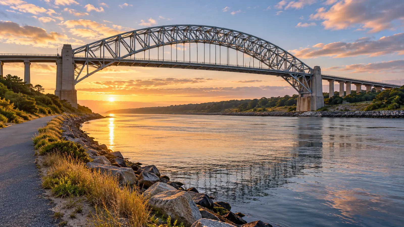
The canal and its bridges
The Cape Cod Canal is a 17.4-mile waterway between Cape Cod Bay and Buzzards Bay, operated and maintained by the New England District of the U.S. Army Corps of Engineers. The Corps says about 15,000 vessels pass through it each year. Two highway bridges cross it, the Sagamore and the Bourne, and the Corps owns both.
Those two spans are the only roadway connections between Cape Cod and mainland Massachusetts. A September 2026 state announcement puts their age at 91 years, and MassDOT’s Cape Cod Bridges program describes them as functionally obsolete, requiring frequent maintenance and no longer meeting the needs of the traveling public. They carry the traffic of about 230,000 year-round residents and more than five million visitors a year.
Where the replacement stands
Replacing both bridges is a joint program of MassDOT, the Federal Highway Administration and the Army Corps, and it is moving one bridge at a time. The Sagamore comes first.
| Milestone | Date |
|---|---|
| Federal Record of Decision | June 26, 2026 |
| Federal environmental review formally completed | August 2026 |
| Request for proposals for the design-build contract released; $956 million in federal grant funding authorized | September 28, 2026 |
| Additional $371 million in federal grant funding expected | Mid-October 2026 |
| Final proposals due | May 2027 (expected) |
| Public bid opening | July 2027 (anticipated) |
| Notice to proceed | Late 2027 (anticipated) |
| Construction start | Winter 2027 (expected) |
| New eastbound span opens | 2033 (expected) |
The plan is to build the new eastbound span beside the old bridge, move all traffic onto it, then demolish the existing Sagamore and build the westbound span in its place. MassDOT says it plans to keep two lanes of traffic in each direction throughout construction to preserve today’s capacity. The finished project includes two new spans and rebuilt interchanges.
The Bourne Bridge is further behind. MassDOT and the Army Corps have jointly applied for more than $1 billion in federal funding for its replacement and, as of the September announcement, were awaiting a decision.
What that means for a 2027 or 2028 trip
Nothing in the published schedule closes a bridge to through traffic, and the dates above are targets, not promises. Before any summer trip, check MassDOT’s Cape Cod Bridges page and the Army Corps’ bridge work alerts for lane closures, which are listed under the canal’s recreation pages.
Making the crossing easier
Because there are only two ways on and off by road, everyone arriving or leaving at the same time meets at the same place. A few habits help:
- Build slack into ferry days. The Steamship Authority already asks drivers to reach its Woods Hole and Hyannis parking lots an hour before departure in summer. Add your bridge crossing on top of that. Details are in Ferries to Martha’s Vineyard and Nantucket: 2026 Fares, Car Reservations and Parking.
- Think about check-in time. If your rental contract lets you choose a later arrival, use it rather than racing a fixed window. Renting a Cape Cod Summer House: What the Massachusetts Rules Mean for Guests lists what to confirm with the host.
- Consider the train. The CapeFLYER crosses the canal on the railroad bridge, with stops at Buzzards Bay and Bourne before Hyannis, on summer weekends. See Cape Cod Without a Car: The CapeFLYER Train, Fare-Free Buses and Ferries That Connect.
- Campers, call ahead. State campgrounds cancel a reservation as a no-show if you have not arrived or called by 8 a.m. the day after your arrival date.
The canal is worth a stop
The canal is also one of the Cape’s busiest outdoor spaces. The Army Corps manages more than 1,100 acres of federal land along it and counts more than 3 million visitors a year. Paved water-side service roads, 7 miles on the north side and 6.5 miles on the south, are open to walkers, runners and cyclists, with benches along the way. They are among the flattest long rides in the region; the Corps posts separate rules on which e-bikes and motorized devices are allowed.
Bank fishing is permitted on federal property along the canal, except at the Corps field office compound, from boats, bridge piers and on or below the railroad bridge approach spans. Saltwater fishing there follows state rules, including the permit described in Fishing and Shellfishing on Cape Cod: Which Permit You Need, What It Costs and Where to Check Closures. Accessible fishing spots are at the Sandwich bulkhead area and the Scusset Beach fishing pier.
The Cape Cod Canal Visitor Center at 60 Ed Moffitt Drive in Sandwich is free. For 2026 it is open May 1 through October 25, 10 a.m. to 5 p.m., closed Mondays in summer and fall. Inside you can board a retired 40-foot patrol boat and follow ships on live radar, and from the front deck you can watch tugs, cargo ships and cruise ships use the canal route between the two bays.
Tip: Ship-watching from the canal bank is a good way to fill the hour before the traffic eases on a departure day. Restrooms at the Corps recreation areas have flush toilets from mid-April through Columbus Day weekend.