
D Delta · Line 1: Rentals & Stays
Signal notes
- Cape Cod is Barnstable County, made up of 15 towns; Hyannis is a village in the town of Barnstable.
- The Martha’s Vineyard ferry leaves from Woods Hole in Falmouth; the Nantucket ferry and the CapeFLYER train both use Hyannis.
- NOAA normals put the average July high at 80.8 F at Hyannis airport and 78.7 F at Chatham airport.
Most Cape Cod trips are planned around a house, but the house is only as good as its location. Spend a week in the wrong town and you can lose an hour each way to reach the beach you came for, or miss the last ferry back from the island. The fastest way to choose is to decide what you want to reach most often and work backward.
The 15 towns
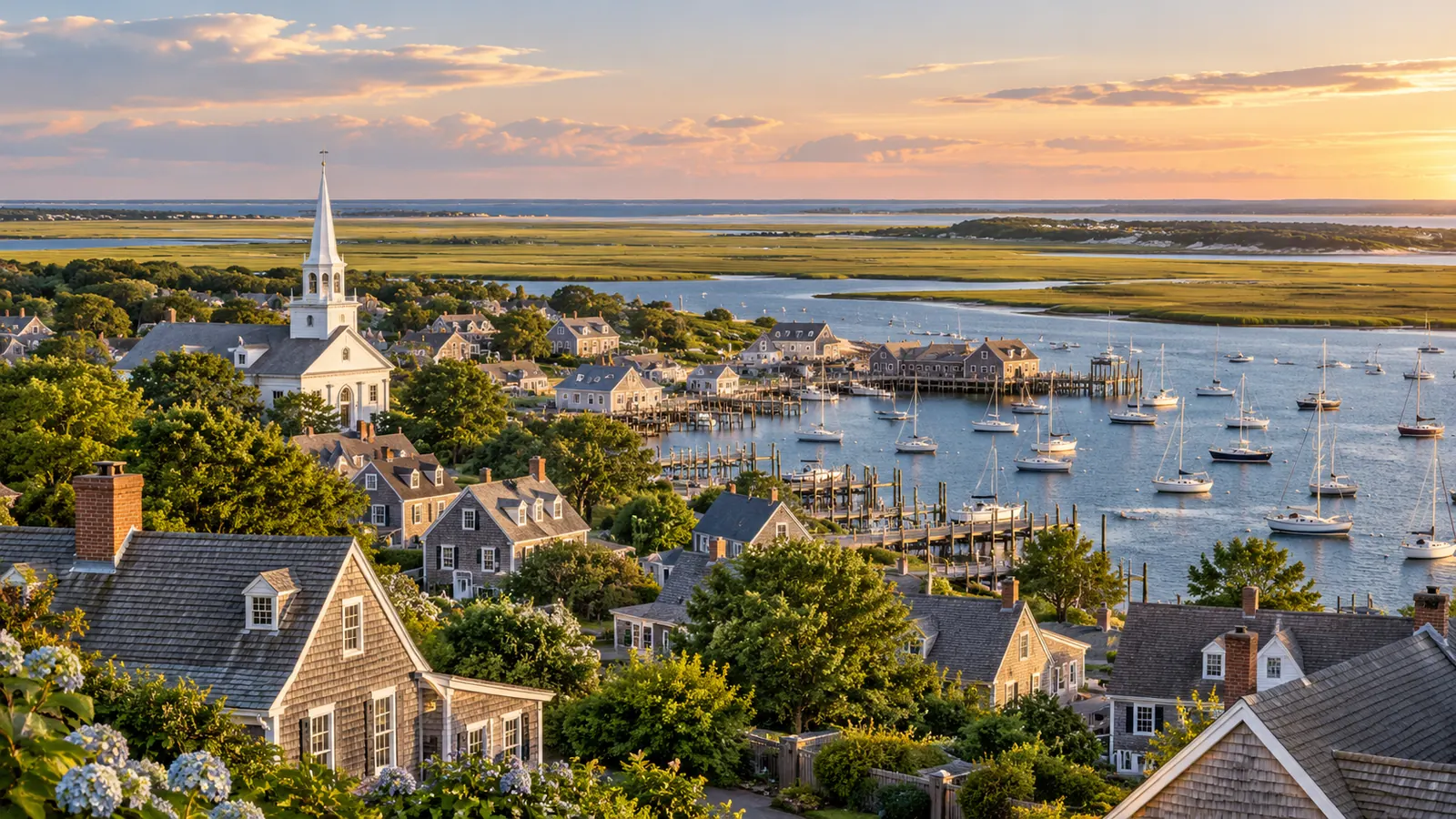
Cape Cod is Barnstable County. The Cape Cod Regional Transit Authority, which runs bus service for the whole county, lists its member communities as Barnstable, Bourne, Brewster, Chatham, Dennis, Eastham, Falmouth, Harwich, Mashpee, Orleans, Provincetown, Sandwich, Truro, Wellfleet and Yarmouth. Hyannis, the Cape’s transport hub, is a village within the town of Barnstable, not a town of its own.
Locals talk about the Upper Cape near the canal, the Mid Cape around Hyannis, the Lower Cape at the elbow and the Outer Cape running north to Provincetown. Those labels are loose, but they match how the main attractions are spread out.
Match the town to your plans
| If your priority is | Look at | Why |
|---|---|---|
| Day trips to Martha’s Vineyard | Falmouth and nearby towns | Steamship Authority ferries to the Vineyard leave from Woods Hole, a 45-minute crossing |
| Day trips to Nantucket | Barnstable (Hyannis), Yarmouth | Nantucket ferries leave from Hyannis |
| Arriving by train from Boston | Barnstable (Hyannis), Bourne | The CapeFLYER stops at Bourne and ends at the Hyannis Transportation Center |
| Biking the Rail Trail | Towns between South Yarmouth and Wellfleet | Free trailhead parking runs from Stations Avenue in South Yarmouth to LeCount Hollow Road in South Wellfleet |
| Ocean beaches of the National Seashore | Eastham, Wellfleet, Truro, Provincetown | All six Seashore beaches are in these four towns |
| Short drive home at the end of the week | Bourne, Sandwich | Closest to the Sagamore and Bourne bridges, the only roads off the Cape |
Near the canal
Bourne and Sandwich sit on the Cape Cod Canal. The Army Corps of Engineers maintains paved service roads along both banks, 7 miles on the north side and 6.5 miles on the south, open for walking, cycling and fishing, and runs a free canal visitor center in Sandwich. Staying here keeps you close to the bridges, which matters on arrival and departure days; see Crossing the Cape Cod Canal: The Sagamore and Bourne Bridges and the Replacement Plan.
Falmouth and the Vineyard side
Falmouth includes Woods Hole, the Steamship Authority’s terminal for Martha’s Vineyard. There is no dockside parking at Woods Hole; the authority runs off-site lots in Falmouth and Cataumet with a free shuttle and asks drivers to arrive an hour before departure in summer. Staying in or near Falmouth shortens that trip.
Hyannis and the Mid Cape
The Hyannis terminal serves Nantucket, with traditional ferries taking 2 hours and 15 minutes and a seasonal high-speed boat taking one hour. The Hyannis Transportation Center is also where the summer weekend CapeFLYER train from Boston ends and where several bus routes meet, which makes Hyannis and its neighbors the easiest base for a trip without a car. Dennis is one of the towns with the largest number of registered short-term rentals in the state.
Brewster to Orleans
Brewster is home to Nickerson State Park, with more than 400 campsites and a direct bike connection to the Rail Trail. The trail continues through Harwich and Orleans toward the Outer Cape. Free parking for trail users is available at Headwaters Drive in Harwich, Route 137 in Brewster and Orleans Center, among others.
The Outer Cape
Eastham, Wellfleet, Truro and Provincetown hold the six beaches of the Cape Cod National Seashore: Coast Guard and Nauset Light in Eastham, Marconi in Wellfleet, Head of the Meadow in Truro, and Race Point and Herring Cove in Provincetown. This is also where white sharks are most often reported near shore, so read Sharks and Rip Currents on Cape Cod: What the Research Shows and How to Swim Smart if you plan to swim there. Provincetown has the highest share of homes registered as short-term rentals in Massachusetts, at 27 percent.
Is the weather different from town to town?
A little. NOAA’s 1991 to 2020 climate normals show the Cape’s ocean-exposed stations running slightly cooler in summer than inland ones, and the shoulder months staying milder.
| Station | June high / low | July high / low | August high / low | September high / low |
|---|---|---|---|---|
| Hyannis airport (Barnstable) | 73.9 / 57.5 F | 80.8 / 64.8 F | 79.7 / 63.4 F | 73.1 / 55.8 F |
| East Sandwich | 71.2 / 56.3 F | 77.1 / 63.0 F | 75.7 / 61.5 F | 70.2 / 54.5 F |
| Woods Hole (Falmouth) | 72.4 / 57.6 F | 79.2 / 64.4 F | 79.0 / 64.5 F | 72.8 / 59.1 F |
| West Harwich | 70.6 / 57.6 F | 77.6 / 64.6 F | 77.5 / 63.6 F | 71.2 / 56.6 F |
| Chatham airport | 71.5 / 57.2 F | 78.7 / 64.2 F | 77.7 / 63.5 F | 71.1 / 57.5 F |
The spread is only a few degrees, and it should not decide your town on its own. It does explain why a sweatshirt is standard beach gear on a breezy evening near Chatham even in July. Rainfall is lowest in midsummer at these stations; at Hyannis airport the July normal is 2.68 inches, against 4.33 inches in October. For month-by-month planning, see The Best Time to Visit Cape Cod: Air and Water Temperatures, Lifeguards and Prices by Month.
A quick way to decide
- List the three things you most want to do during the week.
- Mark where each one is: ferry terminal, trailhead, beach or train station.
- Pick the town closest to the thing you will do most often, not the one you will do once.
- Check how you will get to the others: car, bike, bus or ferry shuttle. The bus routes are covered in Cape Cod Without a Car: The CapeFLYER Train, Fare-Free Buses and Ferries That Connect.
Tip: Once you have a shortlist of towns, confirm the full rental cost before you compare houses. Town-level taxes can differ; Cape Cod Rental Taxes Explained: The 5.7 Percent, the Local Rate and the Water Fund Excise explains which lines vary by town.